This blog is designed to highlight the paddling opportunities within South Dakota, mainly within a 50-mile radius of Sioux Falls. While Sioux Falls is far from the adventure of coastal regions, there is a certain satisfaction in utilizing the available waterways to observe weather, water conditions, and the landscape along the shoreline. In addition, there is a wealth of animal life on the waters of small South Dakota lakes, rivers, and creeks, including geese, ducks, pelicans, great blue heron, egrets, hawks, owls, perching birds, deer, raccoons, and beaver. Eagles, fox, and coyote are also sometimes spotted.

The sites described are places where I have kayaked over the past few years, mostly in South Dakota but sometimes including locations in Iowa and Minnesota. One of the best sources of information on the accessibility of small lakes is the South Dakota Atlas and Gazetteer, the large map book of South Dakota. Lakes with a public access are generally identified by a boat symbol marking the location of a launching site on public land.

You will notice the menu of paddling locations on the right side of the blog. Each of the postings is linked to one of the areas, and my intention is to provide a continuing review of the places where I paddle. Perhaps these narratives will help readers select waterways of interest to them. Please feel free to offer a comment regarding any of my postings; I would welcome the dialog.

I also maintain a companion blog that describes hiking opportunities within the Sioux Falls area. You can access that blog at: http://hikingsiouxfalls.blogspot.com

Sunday, October 27, 2013

Big Sioux River: Grandview to Klondike - Late October 2013


Today, Sunday, October 27, was a beautiful day for a cruise on the Big Sioux River.  David and Mary Finck and Larry Braaten led a fleet of 16 kayaks from the put-in just above the Grandview Bridge to the Klondike Rapids, a distance of about 8 miles.
We gathered at the public access area along the Big Sioux River at the Grandview Bridge at 1:00 p.m. and arranged a shuttle of drivers downstream to the public access area just above the Klondike rapids.
By 2:00 p.m., we were underway for our cruise downstream under sunny skies with little wind and a temperature of about 60 degrees.  A day like this is such a blessing at this time of the year.  I believe that most of us were eager to seize the day before the inevitable descent into winter.
This stretch of river between the Grandview and the Klondike bridges is free of strainers or rapids; it is really a tranquil paddle along a varied landscape.  The water was deep enough for easy navigation, with only occasional shallows encountered when losing the channel.  Depth ranged from too deep to touch bottom with my long double-blade paddle to only a few inches across an occasional sandbar.
There were some high cut banks that rose more than a hundred feet and some old trees in the waterway from floods of the past. 
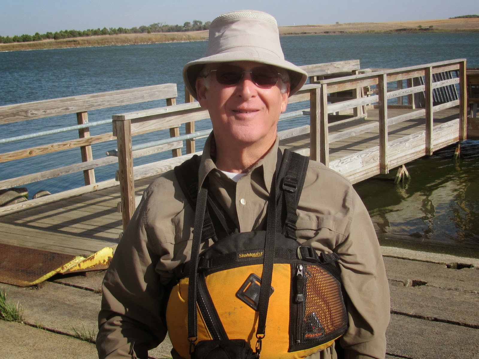
We stopped along the way, as all of Dave Finck’s cruises do, for a stretch and a stroll up and down the hard packed sand shoreline. Sixteen colorful kayaks pulled up on the beach of a river present an attractive sight to me.
These cruises are one way to make and keep friendships among the paddling community. 
Cruising along in discussion groupings of two or three kayaks, standing around chatting at our rest stops, and assisting each other in launching and recovering kayaks from the river build shared experiences.
As we moved downstream, we passed the remains of an old railroad bridge that once crossed the river between Grandview and Klondike.  Only the concrete support on one bank and some rotting pilings on the other bank remain of those days when the railroad played a more important role in area commerce.
We paddled through a landscape in transition from a colorful summer to the drab monochromatic winter brown.  I was surprised to see so many trees that had yet to lose their leaves.  I suspect that will all change over the next week or two.
The water was cold, but all of us were able to paddle without heavy clothing. The sun was wonderful.  By the time we had pulled out at Klondike, however, a chill was developing and a jacket would have been comfortable.
In the lower section of this cruise, extending about half a mile above the Klondike rapids, the river gets wider and deeper as it backs up from the rapids.  There were even some wavelets on the surface during this section from a light wind that came up.
There are take-out possibilities on both the Iowa and South Dakota sides just before the rapids, and we checked both sides out during our shuttle arrangements.  Neither side offered an easy exit from the river, but we felt that the South Dakota side provided the better of bad choices.  The river was about two or two and a half feet deep along the bank as we got off the river, so it was a deep-water exit. Dave Finck was wearing waterproof boots, and he arrived at the take-out first to take charge of assisting paddlers in landing their boats. 

As each boat approached the bank, two people helped stabilize the kayak while one or two others offered assistance in getting out.  With this assistance, all of us were able to get out without tipping over and falling into the river.
River cruises are a social occasion, and they are really not very feasible for the solo paddler.  The shuttle is important, and it is also unwise to paddle alone on moving water. 
We spent about three hours on the cruise this afternoon.  It was an enjoying and satisfying time getting outside in the sunshine in our kayaks and stretching our paddling muscles. The fall landscape was beautiful, and there is a sense of squeezing in another cruise before the kayak racks come off the vehicles and the boats go deep into the garage for several months.
A complete set of the photographs that I took on this cruise is available on my Flicker page at the following URL: http://www.flickr.com/photos/jayheath/sets/72157637027727365/


Friday, October 25, 2013

Lost Lake – at last


People have often confused Loss Lake with Lost Lake, both along Highway 19 in northwestern Minnehaha County, South Dakota. Loss Lake is about 5 miles south of Humboldt, and Lost Lake is about 2.5 miles north of Humboldt, both located on the east side of the highway.
Jay Heath and Dave Finck on Lost Lake, SD
While I have often visited Loss Lake, today was my first visit to Lost Lake.  Lost Lake is very secluded and requires a passage along rough roads with little signage.  Dave Finck, DeDa Odekirk and I left Sioux Falls this morning in Dave’s van and trailer with three kayaks and one of his Kevlar Wenonah canoes, driving west along Interstate 90 to the Humboldt exit.
From there we drove north on Highway 19 to 256th Street and continued east to 458th Avenue where we turned north and then soon turned west along a dirt track road leading through the woods to a launching spot.
There was no signage directing us to the lake, although we could see the path on the South Dakota Atlas and Gazetteer.  GPS on a iPhone seems to give a good pathway to the lake, Google Maps mistakes Loss for Lost Lake. The entrance to the lake passes through a wildlife production area.
The roads around Lost Lake are pretty rough; driving on them after a rain would probably be quite a challenge for a two-wheel drive vehicle.
Lost Lake was so named because the surrounding hills hide it so well.  The surface area of the lake is about 163 acres, making it about 60% larger than Lake Alvin. The shape of the lake includes an irregular shoreline with several large peninsulas.  There is scattered woodland along the shore and a very few buildings within sight.  There is no evidence that the lake is frequently visited.
DeDa Odekirk on Lost Lake, SD
We arrived at the lakeshore about 9:15 a.m. with the morning temperature about 33 degrees, clear sunny skies, and a wind of about 17 mph. There was no ice on the lake, but puddles along the road and in some of the ditches were ice covered. 
The wind was out of the southwest creating waves of about a foot as we set out.  It seemed to us that a counterclockwise circuit around the lake would move us across the wind and provide the best opportunity for a smoother cruise. Deda was in her kayak, while Dave and I took his canoe and left our kayaks on the trailer.  
We set our moving around the eastern shore and headed toward the north bank.  Along the way we encountered a lone pelican and a few gulls.  Most of the bird life, I imagine, has already left for a warmer climate further south.
As we cruised along the northern bank and headed west, we soon found ourselves in much calmer water and were able to move along while watching the landscape pass.  The lake shore is turning monochromatic as the winter browning continues over the next few weeks.
In the distance, we could see some traffic moving north and south along Highway 19, but we were alone on the water and along the shore.  There was no sight of anyone else in the area.
Moving into the southwestern part of the lake, we encountered a bay of submerged trees with a few feet of decayed trunk extending up from the muddy bottom. Obviously, the water level in the lake has risen over the past several years and destroyed this stand of trees.
We continued along the southern shoreline in relatively calm water.  The shoreline ranged from rocky headlands to hard packed sand.  I was able to enjoy the cruise without even getting my feet wet.
Unlike my cruise last week, this time I dressed warmly.  We all had on warm jackets, hats, gloves, and shoes. Last week, I got quite chilled; this week I was appropriately dressed.
DeDa Odekirk Warmly Dressed for Chilly Cruise
We were out on the lake for about an hour and fifteen minutes today. By the time we finished, the temperature had risen to nearly 40 degrees.   Lost Lake is a good place to visit; the shape is interesting and there is good opportunity for viewing wildlife. Of course, finding roads that lead to the lake is quite a challenge, but perhaps the search for access is part of the adventure.  I will plan on returning to Lost Lake in the spring or summer.  
For a full set of the photos I took on the Lost Lake cruise, please access my Flick account at the following URL:  http://www.flickr.com/photos/jayheath/sets/72157636944679853/


Thursday, October 17, 2013

A Nippy Cruise on Lake Alvin


With the season quickly slipping away, it seems imperative to take advantage of any reasonable opportunity for another cruise.  So, with a decent forecast ahead, last night I loaded up my kayak in readiness for a rendezvous with Dave Finck and DeDa Odekirk this morning at Lake Alvin.
I arrived at the public access area on the south end of the lake first and gazed out over a smooth body of water with no wind and a midst drifting off with the early sun. Soon, first Dave and then DeDa arrived, and we set off heading south toward the entrance to Nine-Mile Creek.
It was chilly as we set off; the temperature was in the low 30s, and we were wearing hats, jackets, and gloves. 
We moved up into Nine-Mile Creek through water deep enough to make it an easy passage, even around the left bank and into the main channel of the creek.
We saw only a few birds along the way, mostly ducks or small duck-like birds that quickly few off upon our approach.  Otherwise, it seemed as though much of the bird life had departed for more a more agreeable climate further south.
The effect of a frost was evident in the grasses along the bank.  This was my first sight of frost this year, although we have already moved delicate plant life away from our yard and deck in preparation for the deepening chill of the fall.
We passed under the bridge and continued upstream until the normal blockage at a small rapids about a mile up the creek.  I continued upstream until grounding my kayak on rocks and had some trouble turning around for the return downstream.
The trip back downstream went smoothly, and soon we found ourselves entering back into the main body of the lake.
We moved north on the lake along the right bank and continued up to the north end by the fishing pier.  From there, we moved across the lake and paddled up the channel leading to the spillway.  It seemed to us that there was about 18 inches more water in the channel than this time last year.  The water was flowing across the top of the spillway today; last year, Dave Finck and I were able to rest our arms on the top of the spillway and look down the precipitous drop of 30 or 40 feet.
Backing out of the channel, we continued our return to the public access area on the southern end of the lake.
We spent about two and a half hours on the water this morning.  By the time we pulled out our kayaks, the temperature had risen into the 40s and a light wind had begun blowing across the lake.  While paddling, I did not notice the cold temperature or any wind.  Standing around as I loaded up the kayak, however, I began to feel a deep chill throughout my body.  I have often repeated the old saying: “There is no inclement weather, there is only inappropriate dress.”  Well, I was wearing only a thin long sleeved shirt and a thin nylon jacket.  That was inappropriate dress, and I experienced a penetrating chill.  Next time, I will be better prepared!
A complete set of the photographs taken on this cruise can be found on my Flickr page at the following URL:  http://www.flickr.com/photos/jayheath/sets/72157636668401914/

Friday, October 11, 2013

Windblown on Loss Lake


After cruising with the pelicans yesterday on Grass Lake, Dave Finck and I headed a few miles west to visit Loss Lake.  This is another of the area lakes that I have tried to visit once a year, but it had now been two years since my last cruise there.
Upon arrival at the nicely developed launching area, I walked out onto the fishing dock to look over the state of the water on this windy day.  While the surface was riffled with wind, it didn’t look too bad, and we felt no real concern about conditions.
So, we pushed off and moved west down the south shoreline.  Looking out into the main body of the lake, we noticed white caps and wind powered rollers moving down the lake.  Still, those conditions seemed offshore and unlikely to cause us difficulty.  We just continued paddling west with the wind and following waves behind us. 
Before long, we found ourselves racing west with the wind and two-foot waves chasing us.  The wind was driving us down toward the western shore, and in the distance we could see an electric fence along the western shoreline. The wind was too strong and the waves too big to turn away from the shore, and soon we found ourselves onto the shore and jumping out of the canoe to hold it while avoiding the electric fence.
We were unsuccessful in launching the canoe to return into the wind through the waves.  The only reasonable option at that point was to carry the canoe along the shoreline for a couple hundred feet and make another attempt in slightly less windblown conditions.
Dave Finck - windblown on Loss Lake
With great effort, we were able to make slow headway east, back toward the launching area.  This was one of those situations where I would count 100 strokes, check for progress, groan, and paddle another 100 strokes.  It was a challenging trip back, and we were beat with the effort.  It took us about 20 minutes to make it to the west end and over an hour to get back
A few years ago, my paddling pal Jarett Bies told me about he and his wife, Laura, getting windblown on Loss Lake and finding it very difficult to return to the put-in.  I was incredulous and just could not envision that this small lake could become a challenge.  It has always been a slow, tranquil, and contemplative cruise for me, often with a flat calm on the surface.  I am no longer incredulous!  All lakes can turn savage, and paddlers just have to be aware of how current conditions do not always mirror our recollection of past cruises..
Jay Heath at Loss Lake
For a description of past cruises on Loss Lake, the reader can access the appropriate link on the right side of the blog in the area waterways section.

Photographs of this cruise can be found on my Flickr page at the following URL: