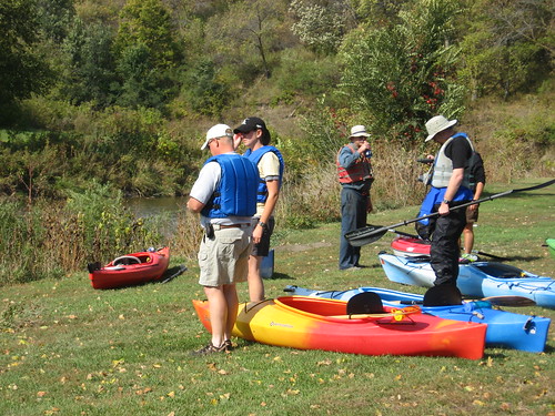
Under the leadership of SDCA president Gene Preston, a fleet of nine kayaks and one canoe set out from McHardy Park in Brandon yesterday afternoon for a cruise down Split Rock Creek to the Big Sioux River bridge over Highway 42 at the new arboretum development on the far eastern end of Sioux Falls. This is a SDCA sponsored cruise that has become traditional in the fall.
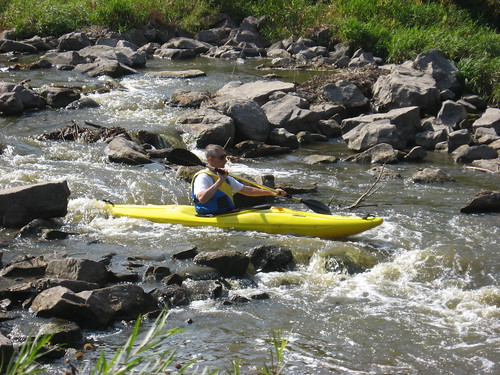
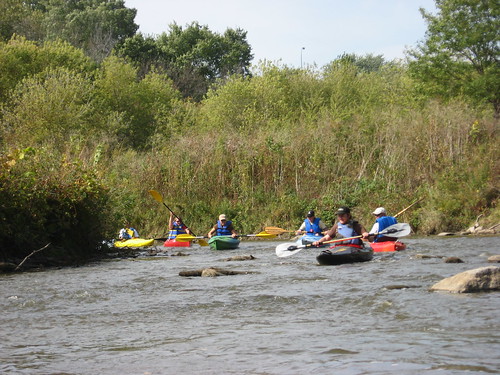
The day was magnificent with temperatures in the 60s, sunny skies, light wind. As the day wore on, the wind came up, but the conditions generally were great for such a venture. Initially, there was some concern about sufficient depth of water within Split Rock Creek, but the attractiveness of the cruise down this winding and scenic waterway won out, and the group set out about 1:30 heading downstream.

The first shallow spot on this waterway is always just around the first bend, and this was no exception. Pete Larson, one of the longtime SDCA members, showed us how to claw our way off shallow sand or rock bottom by using your hands to push the kayak up a little and, with both hands, to drag the kayak along the bottom. This technique worked pretty well on most groundings. Still, I got out of the kayak six or seven times during the trip to drag the kayak across shallow spots.
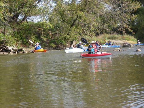
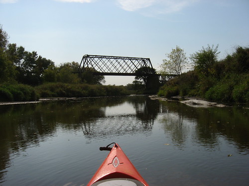
Split Rock Creek moves through the Brandon area, meets Beaver Creek, and finally joins the Big Sioux River. Each confluence adds volume to the flow, reducing the tendency to scrape along on shallow spots. Along Split Rock, the water depth ranged from 2 ½ feet or so to just a few inches. Navigational skill lies in the ability or luck in “reading” the river. There is almost always a channel, usually along the highest bank; that is not always the case, however, and taking the wrong side can mean clawing along with your hands, pushing along with the paddle, or just getting out and dragging the boat along. I forgot to take along a sponge; and every time I got out and back into the boat, more water tracked in with me until an inch or more water was sloshing around in the bilge. Larry, one of our better-prepared kayakers, let me use his a couple of times.


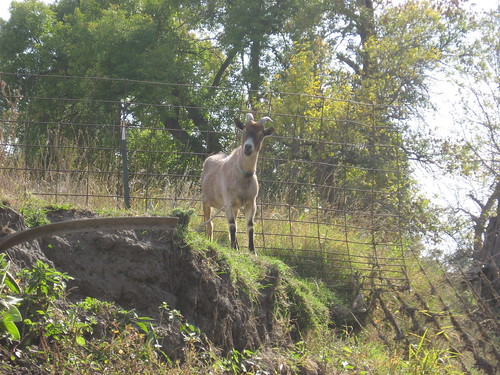
Split Rock Creek moves along, out of sight, behind Highway 11, passing the racetrack in Brandon, skirting the goat ranch just east of the racetrack, under a canopy of trees and some very high banks. A “rock garden” of big boulders offers an interesting sight just past the confluence with the Big Sioux River, and this point marks a change in water depth. The Big Sioux River seems, generally, a deep channel after Split Rock. Even on the BSR, however, there were shallow areas, generally where the river becomes wider.
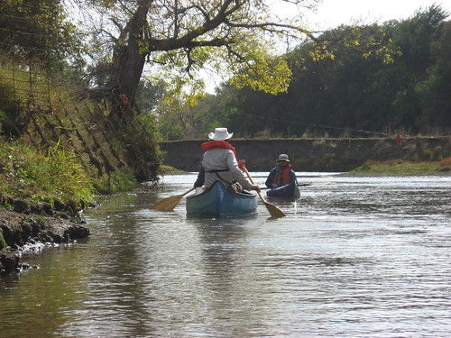
We passed a couple of electric fences along the way, but with team work managed to get by without getting shocked.
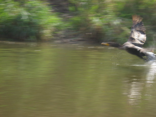
We saw lots of waterfowl along the trip: geese, ducks, great blue heron, and a few cormorants. Along the BSR, very near the “take out,” we passed along a great set of duck decoys both fixed and floating. As I passed a blind of brush and logs, three guys in hunting gear rose up with shotguns in their hands. They wanted, obviously, to give us a scare. I think that I was too tired to react to their stunt, at least to provide the sort of start they probably wanted. Still, I wondered if we had stumbled into a hunting season – the sort of thing that I dread on a river trip.
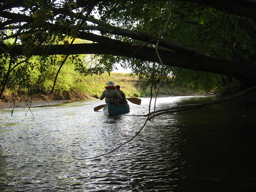
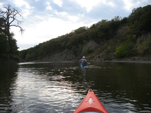
There were boats on this trip from Pierre, Mitchell, Jefferson, as well as the general Sioux Falls area. Pat Wellner, an engineer from Pierre, measured the trip at 8.65 miles on his GPS(Check out the link for his review and photos of the cruise). The trip this year took between 4 ½ and 5 hours, and this was a bit on the long side. During most years, the cruise can be accomplished in 3 to 4 hours. My back was a bit sore after five hours sitting in the kayak, and clawing along shallow spots or climbing in and out of the boat is a little tiring. This was a great cruise, a great way to spend Saturday afternoon. I was pretty tired, however, by the time I got home.
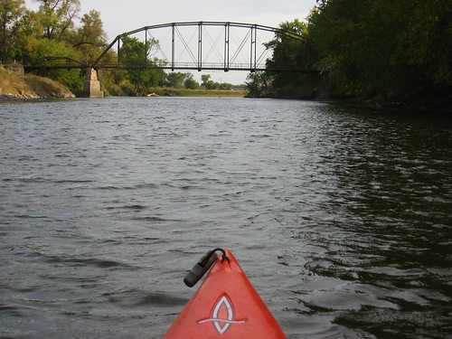
(bridge at the arboretum near the Perry Nature Area "take-out.)
