
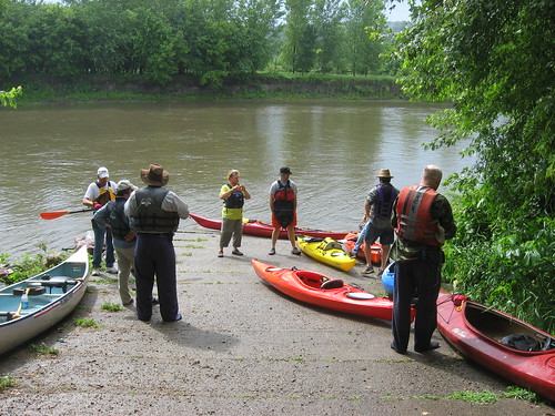
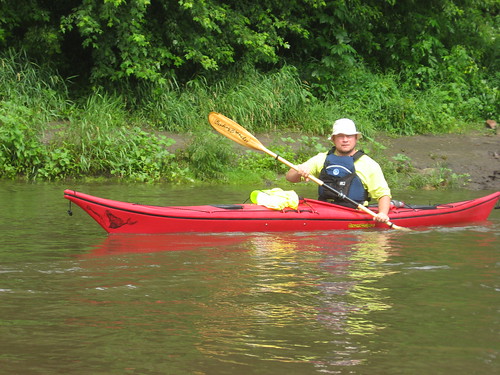
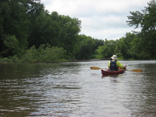
This morning I stood alone on the foot bridge on the downside of the Klondike dam on the Big Sioux River in a heavy downpour. The rain had been falling for an hour or so and rain-laden clouds were still rolling in from the west. The planned South Dakota Canoe Association (SDCA) cruise on the Big Sioux River for today seemed unlikely to take place. Then another car arrived on the scene, and then another. The cruise was planned to get underway at 9:00 a.m. sharp this Sunday. By about 9:20 or so, the rain had largely stopped and SDCA members had arrived. The cruise director, Larry Braaten, organized a shuttle plan in which most cars would be driven to the river access point on the south side of Canton. Shortly after 10:00 a.m., a fleet of nine kayaks and one canoe set out from the public access area on the South Dakota side of the Big Sioux just below the dam. As we launched, the sun came out, and the paddlers began removing rain gear in favor of short-sleeved shirts.

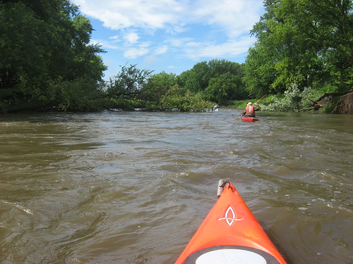
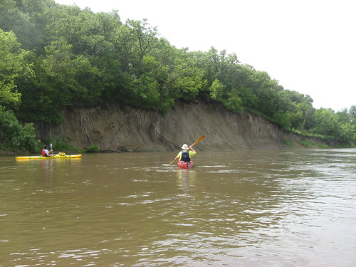
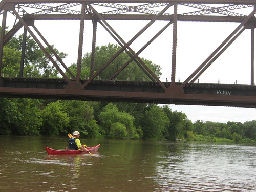
The trip downstream for this segment is 12 miles, and a three-hour cruise was anticipated. There has been a great deal of rain this summer, which has kept the river at a high level. Along with good depth, there was a strong current flowing. It seems that the river flowing south from Sioux Falls is made up of 12 mile segments: Lien Park in Sioux Falls to the Big Sioux Recreation Area, The BSRA to Lake Alvin, Lake Alvin to the Klondike, and the Klondike to Canton. Each of these segments takes about three hours to paddle. The river gets a little deeper and wider as it flows south. This segment from Klondike to Canton is scenic with some very high banks, especially on the Iowa side, and a set of rolling hills, also largely on the Iowa side. The banks are heavily forested. Some exceptionally tall Cottonwood trees are found close to the banks along the way.

The river was free of “strainers” or any other obstruction. We passed through the remains of a set of two serious strainers from last year that blocked the river. That is the site where two Sioux Falls kayakers had an upset that landed them in the water scrambling to hang on to branches of a strainer while their kayaks were swept downstream.
We were accompanied for quite a way by a pair of large great blue heron who would sweep up ahead of us and just move on downstream until we again spooked them. They kept just ahead of us for miles. In addition, we saw an eagle, many hawks, and several large owls. Some of the party observed beaver, but I did not see any myself.
This segment of the river is characterized by a pretty straight course for several miles. There was a south wind that cooled us off but did not markedly inhibit our progress.
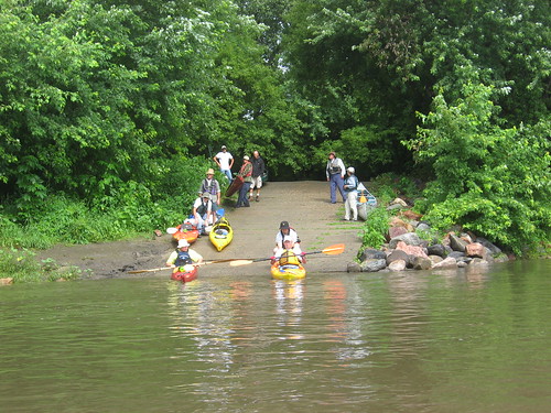
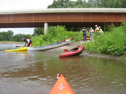
There is a spot about 8 miles from the put-in at the bridge over Highway 18 with a concrete launching ramp that provides a good stretch spot along the route. While we were shaking it out at this point about two-thirds of the way along our route, a pickup approached with two canoes in the back. Six people piled into the canoes and set off downstream. We passed them very quickly after setting off. The access points along this segment of the river offers a good paddling opportunity for causal boating, and these young people seemed to be having a fine time.

The cruise this morning and early afternoon really turned out well in spite of the rain that nearly derailed the trip. SDCA cruises are always a time for fellowship and cooperation. The conversation is easy and the pace pretty steady. Arranging a shuttle is one of the best aspects of a group cruise, and this one worked exceptionally well. One of the paddlers on this cruise was in a kayak for the first time. Others have expedition quality skills and stamina. As is nearly always the case now, I was the oldest paddler on the cruise – older by four years than the next in line.
2 comments:
Looks like you guys had a good time. John and I had a good 'ole time too. On Saturday, we paddled alongside Joe Forrester for 23.5 miles of his 3900 mile journey.
What a great experience,Pat. You must have had interesting chats as you paddled along with him on the Mo.
Jay
Post a Comment