
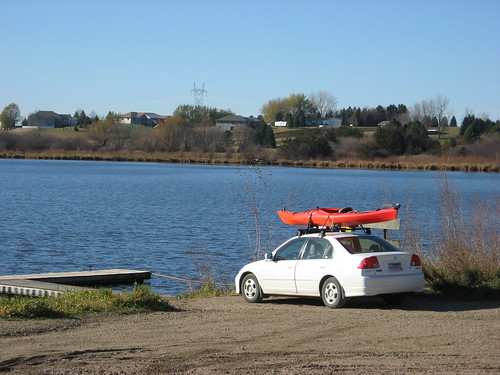
I have kept the kayak on top of the Honda Civic since my trip to Lake Lakota last week, just waiting for a nice day for perhaps a final cruise of the season. The past few days have been cold and very windy. This morning the dawn temperature was in the 20s, but the winds were light and this seemed the day I had been anticipating.
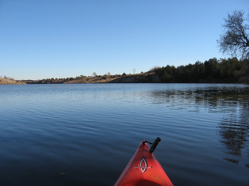
About 10:30 a.m., I set out for Lake Alvin. The temperature had climbed to about 34 degrees and the sun was bright as I arrived at the public access area on the southwest shore; the dock was still in, and the lake was deserted. The water temperature was 45 degrees, marking a steady decrease over the past couple of weeks.
I managed to get in the kayak with my shoes still on, and I was wearing a jacket under my life jacket. I also had on a winter hat and gloves. Even so, I was cold for the first hour of paddling, especially my face and hands.
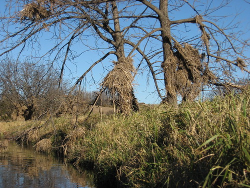
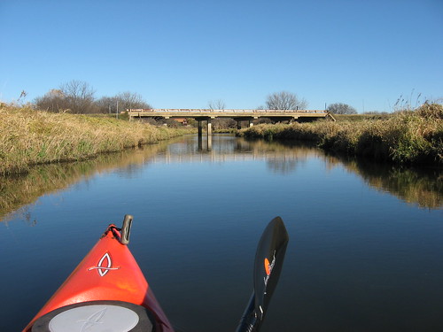
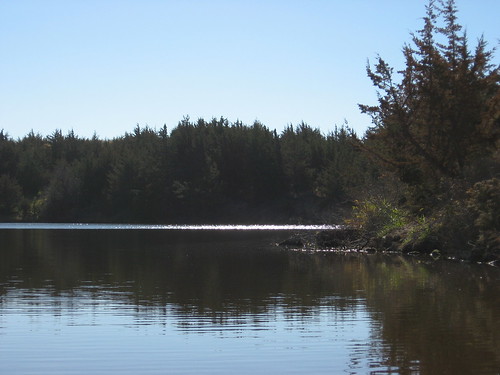
As has come to be my normal path, I set out across the lake to the eastern shore and made my way south into Nine Mile Creek. The water in the creek was as clear as it ever gets in that waterway; I could clearly see bottom at four feet, and that made it relatively easy to follow the channel south. I passed debris caught in the trees along the shoreline from the floods of this sumer. It is amazing how the creek rose so high above the banks of this seemingly placid stream
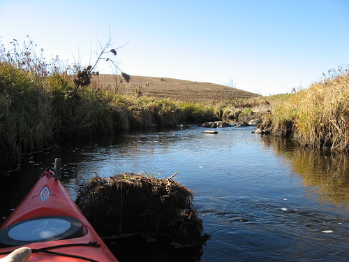
The depth along the creek was sufficient to move up to the rapids located about 20 minutes upstream. Clods of earth along the route were encrusted with frost and seemed frozen to the touch.
There was little life seen along my route today. I came across a couple of muskrats, a very few duck-like birds, and very few perching birds. The brown landscape and the apparent absence of wildlife seem to highlight the advancing season. Winter is near, and the lake community is shutting down for a long sleep.
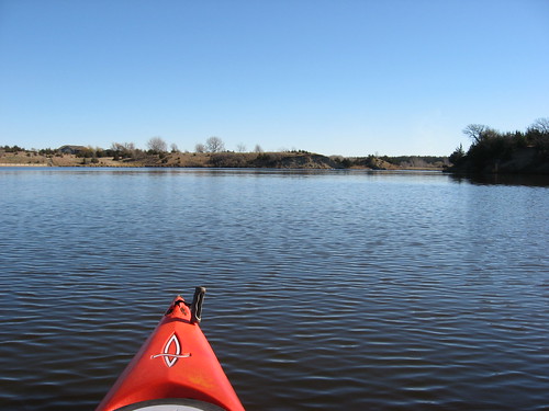
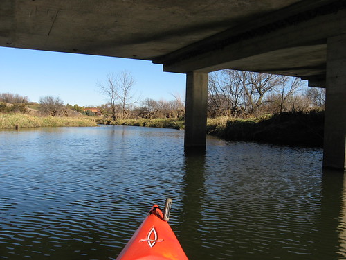
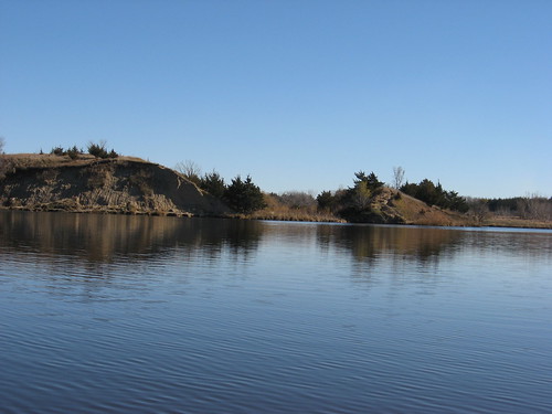
Coming back out of Nine Mile Creek, I continued north up the main body of the lake keeping close to the shoreline. There was an interesting play of colors on the water and about the land, and I enjoyed watching the changing face of the water: cats paws racing along and wind shifts on the surface as the lake flows along the old creek bed in a roughly “S” shape through the surrounding hills.
Overhead, I could see passenger jets streaking along in various directions, their contrails sweeping out behind them as they passed seven miles or so above me. I thought of the expression “fly-over states” as the jets moved generally east and west so far above. The passengers in those jets are in their own self-contained world, unconnected to the places they are passing far below.
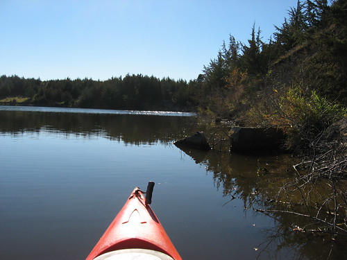
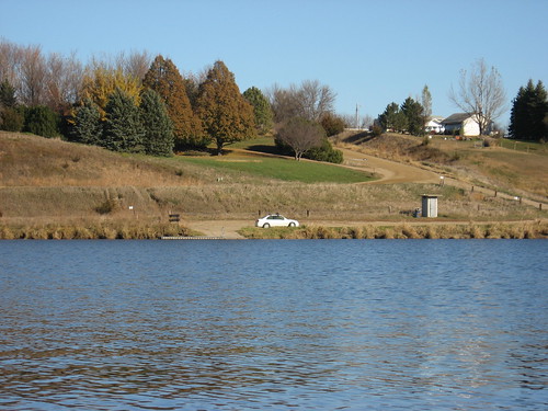
I looked over the familiar shoreline, thinking that this might well be the last time I visit Lake Alvin for many long cold months. A guy was out fishing, and we had a brief chat. He told me that he was at work and couldn’t stand the thought of letting this day pass without taking advantage of the last days of lake access. So, he took off work and was casting his line and smiling in the sunshine. He had entered the lake from the Recreation Area along the northwestern shore.
I eased into the spillway channel to look over the landscape and came across another muskrat.
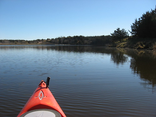
So, I spent a couple of hours on the lake and paddled the length: from the fishing pier at the north end to the end of Nine Mile Creek in the south. Last year I went out to Lake Alvin on December 1, but the dock was pulled and most of the lake was ice covered. Still I foolishly paddled around the edge of the ice for a hundred yards or so.
I am leaving the kayak on the car for another week or so in the event that I decide to go out again. Paddling cold waters alone is probably not the best idea though, so I may call it a season with the cruise today.
No comments:
Post a Comment