
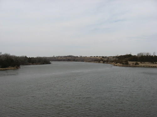
This afternoon I took a drive out to Lake Alvin and the Big Sioux River access point nearby. The first stop was at the public access along the northwest shore, just off of Highway 11,west along County Road 110, to 479th Ave. This is my usual entry point to Lake Alvin, and it does not require a state park sticker. The ice has melted in this part of the lake and the way seems clear to paddle across and up into Nine Mile Creek. Then, I drove up to the Lake Alvin Recreation Area to check out the ice in the wider part, up at the northeastern end. A park sticker is required for entry into the Recreation Area. Standing up on the hill overlooking the main body of the lake, I could see a large ice floe extending from the center of the lake over to the southern shore. I would think that this remaining ice will disappear within days. The docks have not been installed as yet at either launching ramp.
Since the weather forecast projects temperatures into the mid 50s later in the week, I think that I will put the rack on my Honda Civic and venture out onto the lake from the public access point and check out any signs of spring. I am anxious to move out onto the water, and that moment is only days off now.
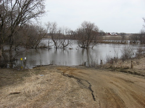
After looking over the lake, I headed over to the public access point for the Big Sioux River near Lake Alvin, to the bridge just off 272nd Street.

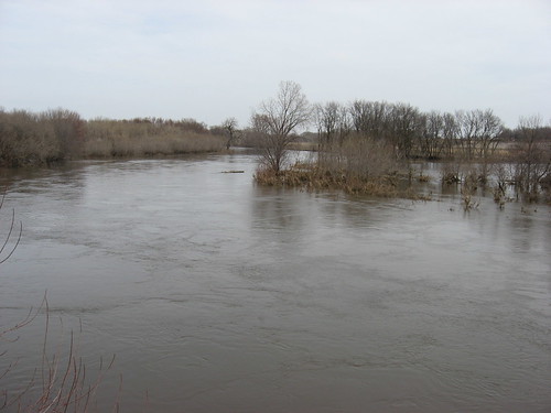
This is a well-used canoe/kayak access to the river for cruises from Brandon and then on to Canton. I have used it several times for these BSR trips. The governor has issued an order prohibiting all travel along the BSR during the spring flooding – until further notice. So, I just wanted to check out the extent of flooding along this familiar section of the river. The water is moving fast, the river is quite wide, and I am sure that there are strainer hazards from downed trees and debris flowing downstream.
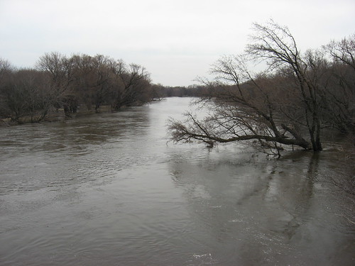
Also, it might be tough to get on and off the river. The prohibition of all travel is a wise move; the river is dangerous at this stage. The penalties for disregarding the order are substantial.
No comments:
Post a Comment