Today I cruised up the east side of Lake Vermillion from the east site of the Lake Vermillion State Recreation Area well into the East Fork Vermillion River.
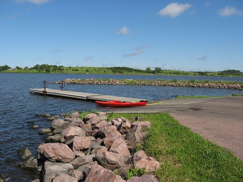
The east site of the recreation area is a public access and no park sticker is necessary to use that launching area. There is a spacious paved approach and parking area, a dock, and a toilet at this site. This part of the lake is very close to the dam at the southern end, and it is across from the main part of the recreation area. As I have mentioned in earlier Lake Vermillion posts, the lake is in the form of an “L” with the lower arm extending west back up into Battle Creek. This arm is an area that is popular with kayaks and canoes because there are few boats that venture up that way. The main part of the lake is oriented north and south and extends north for a couple of miles from the dam where it narrows down as it transitions into the East Fork Vermillion River.
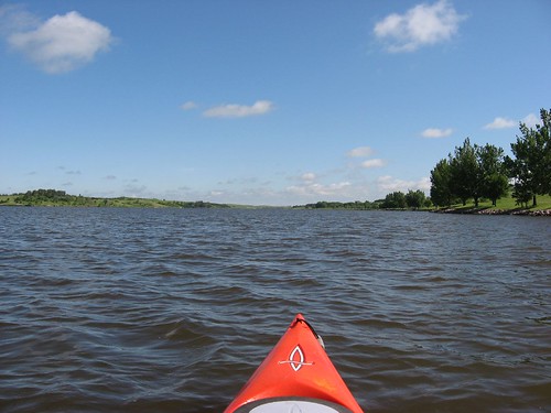
Today there was a moderate wind out of the south, which created a following sea condition going north on the main body of the lake. There are enough coves along the lake so that wave conditions and wind strength varied as I moved north. I moved close to the eastern shoreline so that I could check out conditions for wildlife. Also, I tried to move into calmer waters when possible. At the northern end of the lake, the waterway narrowed considerably as it transformed into a river. I continued upstream on the river for another mile or so until I checked the time and saw that I had been out for 70 minutes. I was aware of the conditions likely on the way back, so I turned and made my way back south toward the launching point.
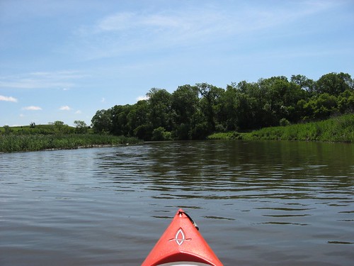
The wind on the way back had increased in strength and the waves had become noticeably larger. The return trip required constant paddling and no slow cruising along the banks. Instead, I began to focus upon the next point or tree to mark progress; sometimes I counted strokes to validate that I was moving from point to point. As I picked up speed, the kayak took waves over the bow and spray was coming back at me. It was not especially risky, just a steady slogging ahead trying to get back. While it took me only 70 leisurely minutes to make the run north, it also took 70 minutes to get back – 70 minutes of vigorous paddling along the shortest distance between points.
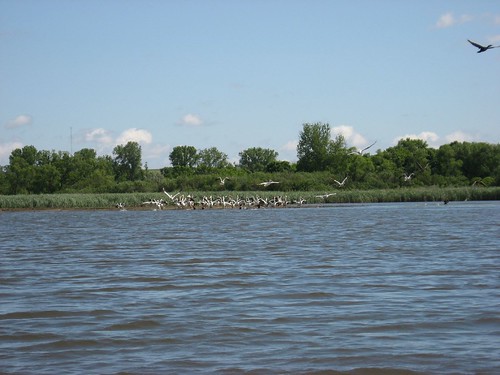
There were lots of pelicans on the lake today. I came across two large flocks at different points; one group was up on the river portion of the cruise. I find these birds beautiful as they wheel overhead. In addition, I saw several great blue herons and lots of ducks. On the way back along the shallower east side of the lake, I came across several gigantic carp just below and alongside the kayak. Occasionally, they would jump out of the water – snapping at bugs, I guess.
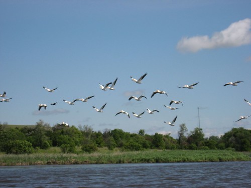
The last time I cruised up the main body of the lake (November), I thought that the east side looked more interesting. As I was moving up the east side today, I thought that the west side looked more interesting. It seems like the east side is shallower with more aquatic grasses growing. For that reason, perhaps, there also seems to be less boat traffic on the east side. I guess that either side has its positive points. Once you get far up into the northern part of the lake, the water narrows down as it becomes a river. At that point, you can move from side to side easily.
On this Thursday morning, I saw a couple of fishing boats out on the water, and there were a couple of guys fishing at the dock at the launching point when I returned. As I have noted before, Lake Vermillion seems best on a weekday when there aren’t speed boats racing up and down. If I were to go there on a weekend day, I would be sure and start off from the east launching point and stick to the eastern side on the cruise up the lake.
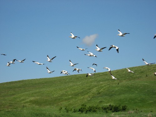
Lake Vermillion is pretty close to Sioux Falls and offers the closest larger body of water. There is limited development along the shoreline, so there is the feeling of being in an isolated waterway. There is also plenty of birdlife and probably other wildlife to observe, especially as you move north on the water.

No comments:
Post a Comment