
Lake Alvin is certainly one of the most accessible waterways in the Sioux Falls area, and many of us visit the lake often. For me, the best times to cruise on the lake are weekdays, especially early in the morning or at twilight.
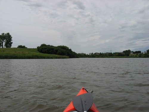
For a change of pace, I have found it interesting to put my kayak in at the southwestern end of the lake and take a cruise upstream on Nine Mile Creek. As you depart the launching point, it is important to keep to the left bank making your way down to the western end of the lake. The waters off to the right tend to be shallow with a muddy bottom: it is easy to get hung up on the mud banks of that side. The channel seems to run deepest about 15 feet off the left (eastern) bank.
As you approach the end of the lake, there will be a passageway through the aquatic vegetation about 20 feet wide. This is the mouth of the creek as it empties into Lake Alvin.
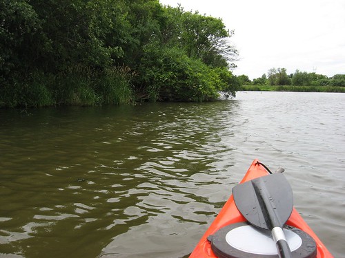
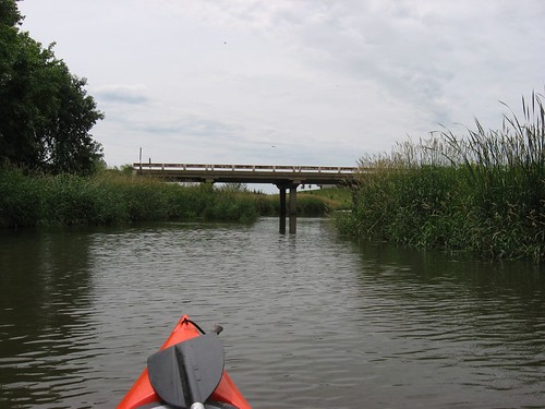
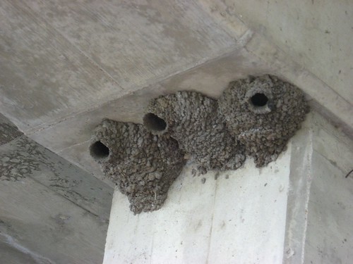
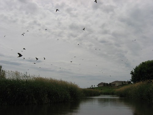
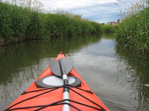
The creek twists and turns its way to the south. During the first part of the trip, the creek is fairly wide, and the water is deep enough so that there is little problem with running aground. Early into the cruise, you will pass under the bridge over 479th Ave. Cliff swallows have constructed their conical mud-built nests under the bridge, and clouds of them rise into the air with the approach of a boat.
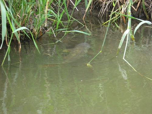
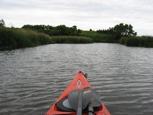
Past the bridge, the creek varies in width as you move upstream. The course is always very winding, and the depth continues to be okay. There is a high bank on both sides, and lots of birds nest in the grasses. I saw dozens of big carp in the shallower areas of the creek; their large oval mouths were above the surface, and the fish emitted some sort of cough-sounding gasp as they fed.
Going upstream, I used my double bladed paddle, and on the way back downstream I used a single-bladed bent-shaft canoe paddle that I carried on the deck of my kayak. In a constricted waterway like Nine Mile Creek, I think that is it better to use a canoe paddle because you can keep closer to the shore line and also use it to fend off or to pole along in shallow water. It also allows closer approaches to any wildlife without scaring it off.
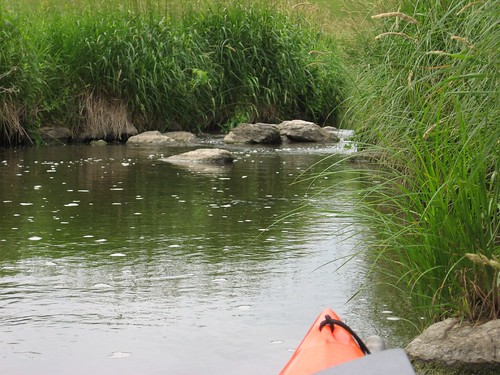
From the launching point at the public access area, it takes about five minutes to approach the mouth of the creek. From that point, it takes about 20 minutes to move upstream to the end of kayak or canoe navigation. The end of possible movement is where the creek becomes too shallow and rocks prevent further passage upstream. Until that point, however, I did not run aground and kept the rudder of my kayak deployed.
So, this is a change from just paddling the circumference of the lake, and it takes about an hour to do this cruise: a slower cruise upstream checking out the vegetation, taking photographs, lost in contemplation and a quicker return. I think that this is a wonderful variation for people. My trip took place from 12:25 to 1:30 p.m. on Monday, June 18, with the temperature in the 70s. The key, again, is to keep to the left bank in making the approach to the creek.
No comments:
Post a Comment