We set out from Sioux Falls at 10:00 a.m. and went down the Interstate to the Vermillion exit and then traveled west along Highway 50 through Vermillion and onto Timber Road. This road led us just a few miles west until we passed the Clay County Park (also the state Lake Use Area) which would be the take-out spot. We then continued along Timber Road for about 6 miles or so until we came to a gravel road leading down to the Myron Grove County Recreation Area – also know locally as the “highlines.” The distance between the two points by road is a little over nine miles.
We left our three kayaks at Myron Grove with Laura, and Jarett and I drove our cars back to the Clay County LUA where we met a friend of Jarett’s who had agreed to shuttle us back to the departure point.
Myron Grove is a good launching point with a ramp, dock, and decent parking. The water gets deep quickly along the shore, so we put our kayaks in alongside the dock. The current was moving along, so the trip got a quick start as we set off.
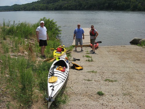
The Missouri River from the Gavins Point Dam west of Yankton downstream to the Ponca State Park in Nebraska is a 59 mile stretch of river that is listed on the National Register of Wild and Scenic Rivers. The appearance of the river is said to be much the same as when Lewis and Clark made their assent in 1803. This section of the river is known for its large wooded islands and sandbars.
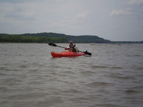
The river at Myron Grove is relatively narrow, at least according to Missouri River standards. There is some development in the nature of scattered lake homes on the South Dakota side of the river, but the Nebraska side, as well as the large islands in the stream, is much more undeveloped.
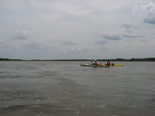
We kept to the South Dakota side of the river as we made our way downstream. We found that it was necessary to carefully “read” the river as we moved along; the biggest challenge was avoiding rapid shelving of the water until we found ourselves stranded on shifting sandbars. I actually had to get out of the kayak at one point and drag it a few feet off a sandbar. It felt odd to be in nearly the middle of the Missouri River standing in a couple inches of water! Jarett and Laura were able to wiggle and pole their kayaks off without having to get out. Except for a couple of times when we ran into this very shallow water, there was plenty of depth to the river. The current was fast but not a problem. There was some head wind, but it served mostly to cool us down. The day was nearly perfect with a partly cloudy sky and a temperature of about 80 degrees.
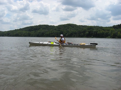
The distance from Myron Grove to Clay County LUA is listed by the State Department of Game, Fish, and Parks to be 7 miles. We cruised along enjoying the scenery, checking out many great blue heron and the large jumping fish, chatting, and completed the trip in one hour and forty minutes. The take-out point at Clay County LUA is even more well developed than the put-in at Myron Grove.
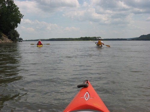
With the weather and flow conditions that we experienced, this seemed to me like a great opportunity for people to experience travel along the Missouri River. The put-in and take-out are first rate, there seemed to be no hazards to navigation, and there were very few power boats on the river. We passed a large youth group in about a dozen canoes pulled ashore on Goat Island and then saw them as they finished up at Clay County LUA. Even coming from Sioux Falls, this is a great way to spend the afternoon. You can leave Sioux Falls and be at the put-in within an hour and forty-five minutes. From the take-out, it may take an hour and fifteen minutes to get back home.
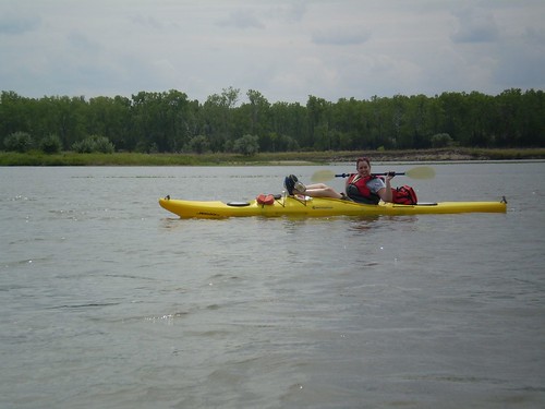
I found that the wide expanse of river is quite a different experience than on streams like the Big Sioux River. The current on the Missouri is a bit faster and, of course, there is much greater depth of water. Along the smaller streams, there might be a greater sense of intimacy with the river because of the close banks, trees that cast the traveler in shade, and the need to attend more closely to navigation. Also, there is usually a greater sense of isolation and a greater opportunity to come across wildlife. Still, going out on a big river has its exhilaration and sense of adventure. Moving along the Missouri River, you can’t help but be aware of endless possibilities for further travel – all the way to St. Louis and on down the Mississippi to New Orleans. While the Missouri River upstream is a series of very large lakes behind a set of dams, this section from below Yankton to Ponca is a great way to connect with historical river travel from the 19th Century.
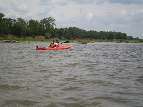
The only rub with this sort of trip is the need for arranging a shuttle. Also, Jarett told me that some groups have found conditions on the river that included strong headwinds and waves. That could be nasty, but we found a nearly perfect day. We thought that the trip could well have included another five mile or so segment. The SD Department of Game, Fish, and Parks has published a brochure, Canoeing and Kayaking in South Dakota, that gives river miles between points on major streams in the state, including the Missouri River from Fort Randall to Ponca State Park. This is a valuable resource in planning trips along the rivers of SD.

1 comment:
I just did this trip last weekend. It was a great trip. It took us 2 1/2 hours because we had such a headwind. We paddled the whole way, but it was for steering purposes only and not at all hard. It got kind of crazy for a short time. Our noses were in the waves and water was spraying everywhere! Great fun!
Post a Comment